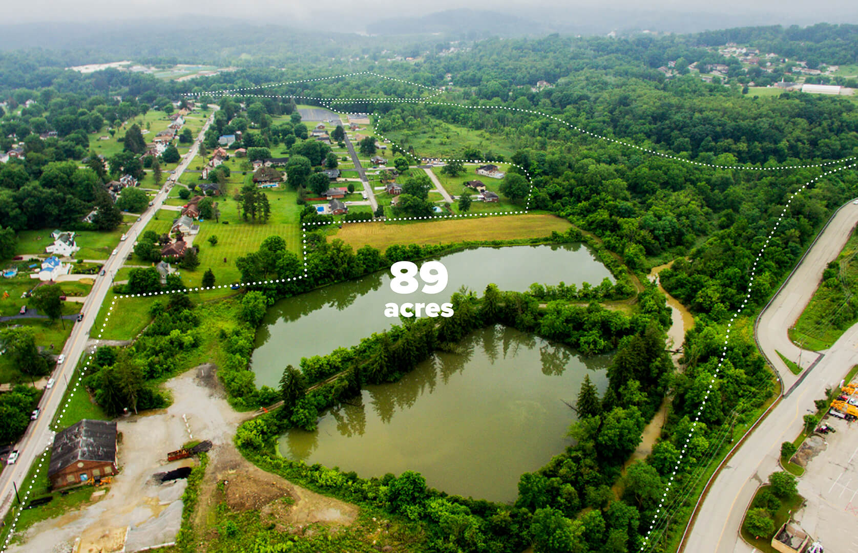
Waterside Park is a new 89-acre park in Washington County, PA. The park will become a civic center for gathering and nature-based recreation for the North Franklin Township community.
NORTH FRANKLIN TOWNSHIP BOARD OF SUPERVISORS, PENNSYLVANIA DEPARTMENT OF CONSERVATION AND NATURAL RESOURCES
Waterside Park
Washington, PA
Waterside Park occupies the site of a former water company reservoir land. At the epicenter of Pennsylvania’s fracking industry, the project attempts to elevate the consideration of ecological assets and civic infrastructure in the public imagination of one of the most conservative counties in the state.
The new park will contribute to the local and regional vitality through four interrelated aspects: ECOLOGY — Enhance and restore the unique landscape characteristics of along the Chartiers Creek corridor. COMMUNITY — Position Waterside Park as the civic and cultural center of North Franklin Township’s current neighborhoods and their future growth. ACCESS — Link adjacent neighborhoods and facilities to Waterside Park and to each other. IDENTITY — Create a distinctive language of elements and overall public realm to exemplify the character of North Franklin Township.
COLLABORATORS
Ecological Consultant: HRG, Inc.
AWARDS
2022 AIA Pennsylvania Merit Award
SERVICES
Landscape Planning + Design
Site Context
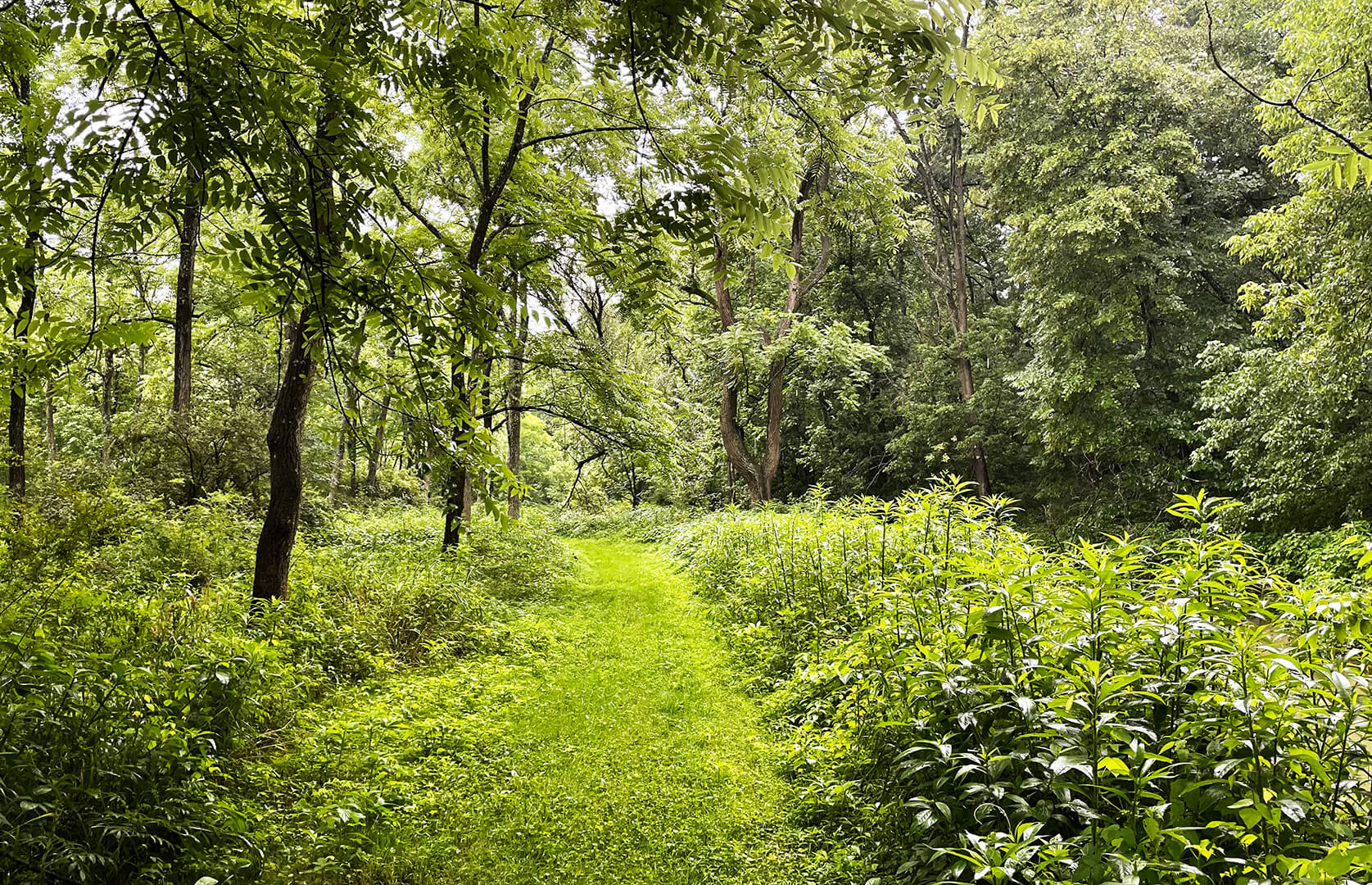
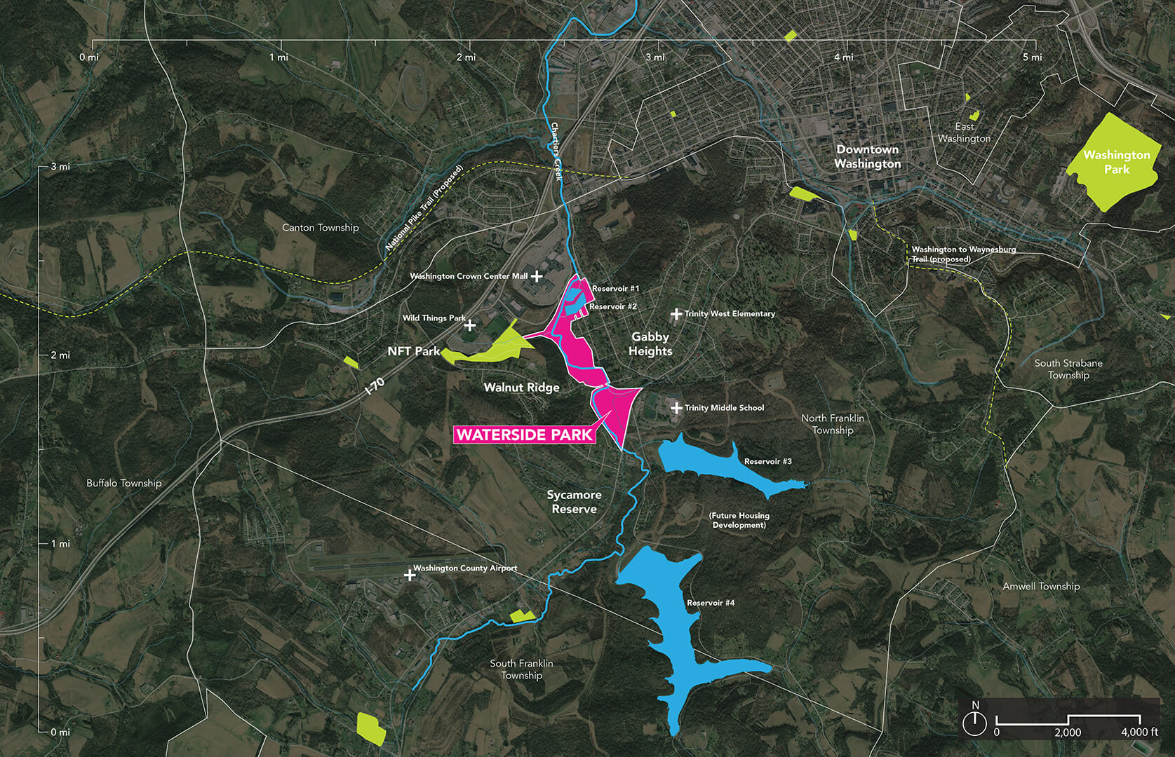
Waterside Park is located roughly 30 miles southwest of Pittsburgh and is near the top of the Chartiers Creek Watershed, which contributes to the Ohio River Basin. Untouched by development and home to a mature successional habitat and emergent wetlands, the site includes two small reservoirs and Chartiers Creek.
Community Engagement
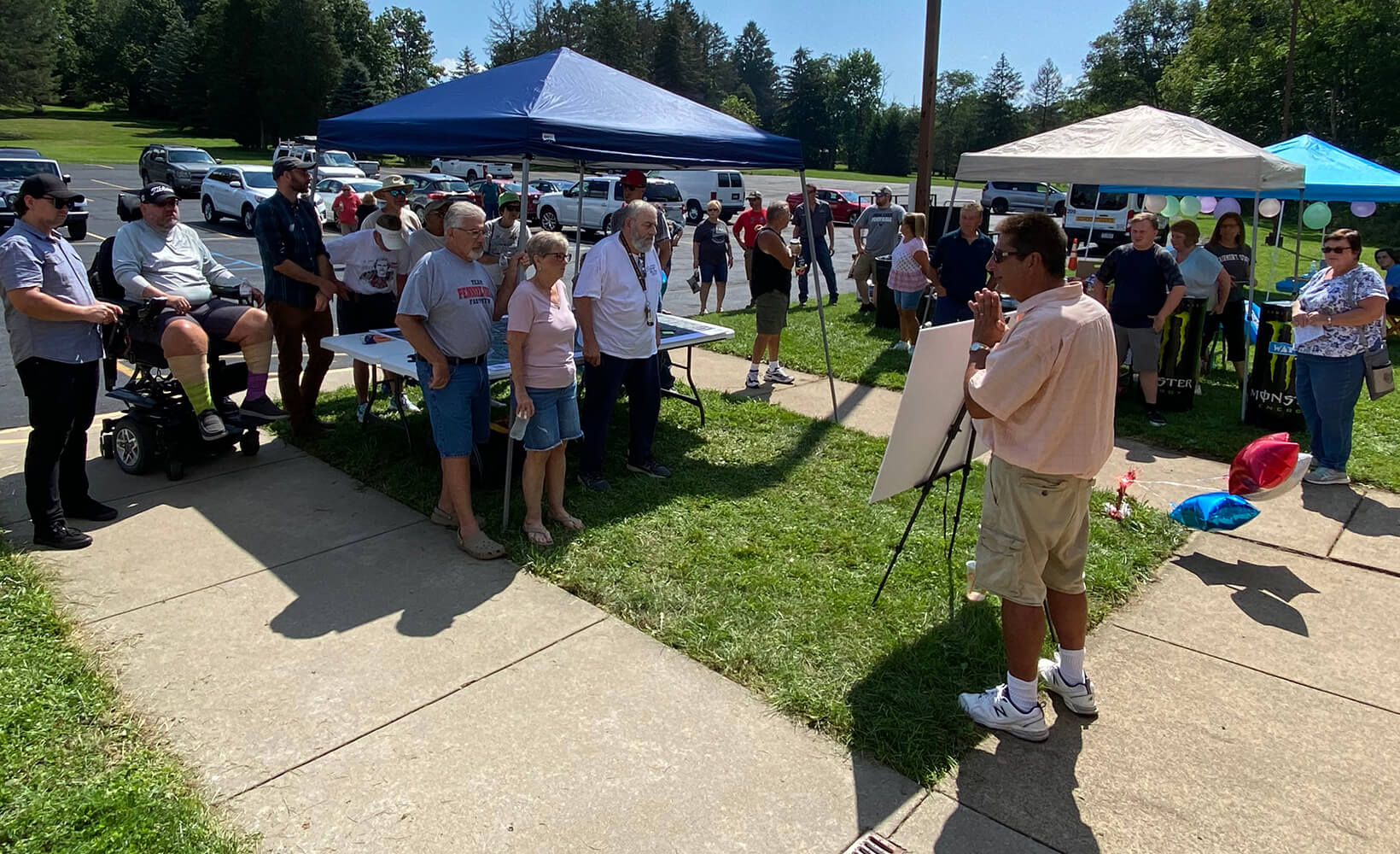
Two methods of engagement were utilized for connecting with the community: 1) mailed surveys that were distributed to every household and 2) a community engagement event that included guided walks of the site and conversations with the design team around large site maps and precedent studies.
Site Plan
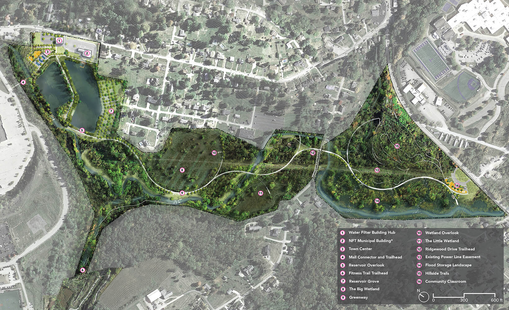
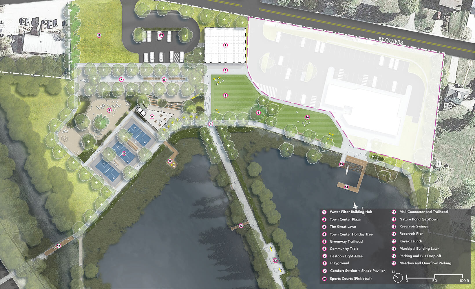
The 89 acres of Waterside Park can be broken down in the following manner: 5.5 acres will be transformed into high quality public spaces, 45 acres will be enhanced from disturbed or low value landscapes into high value landscapes, and 38.5 acres will be preserved to maximize ecological services.
Park Components
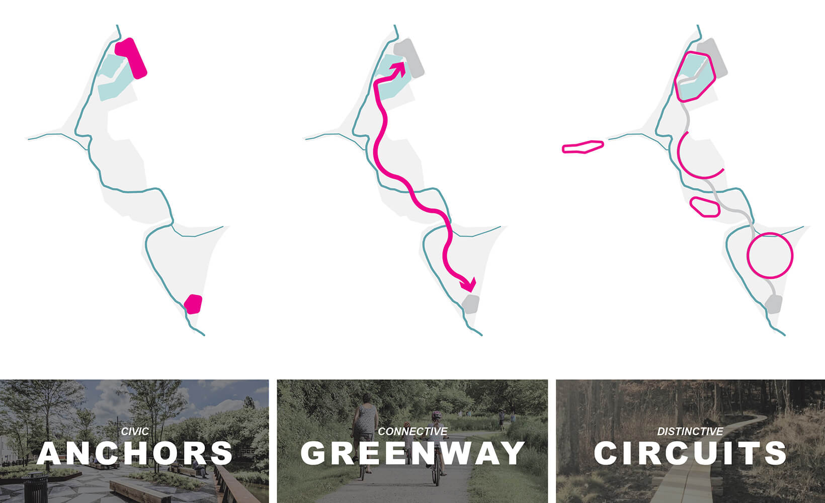
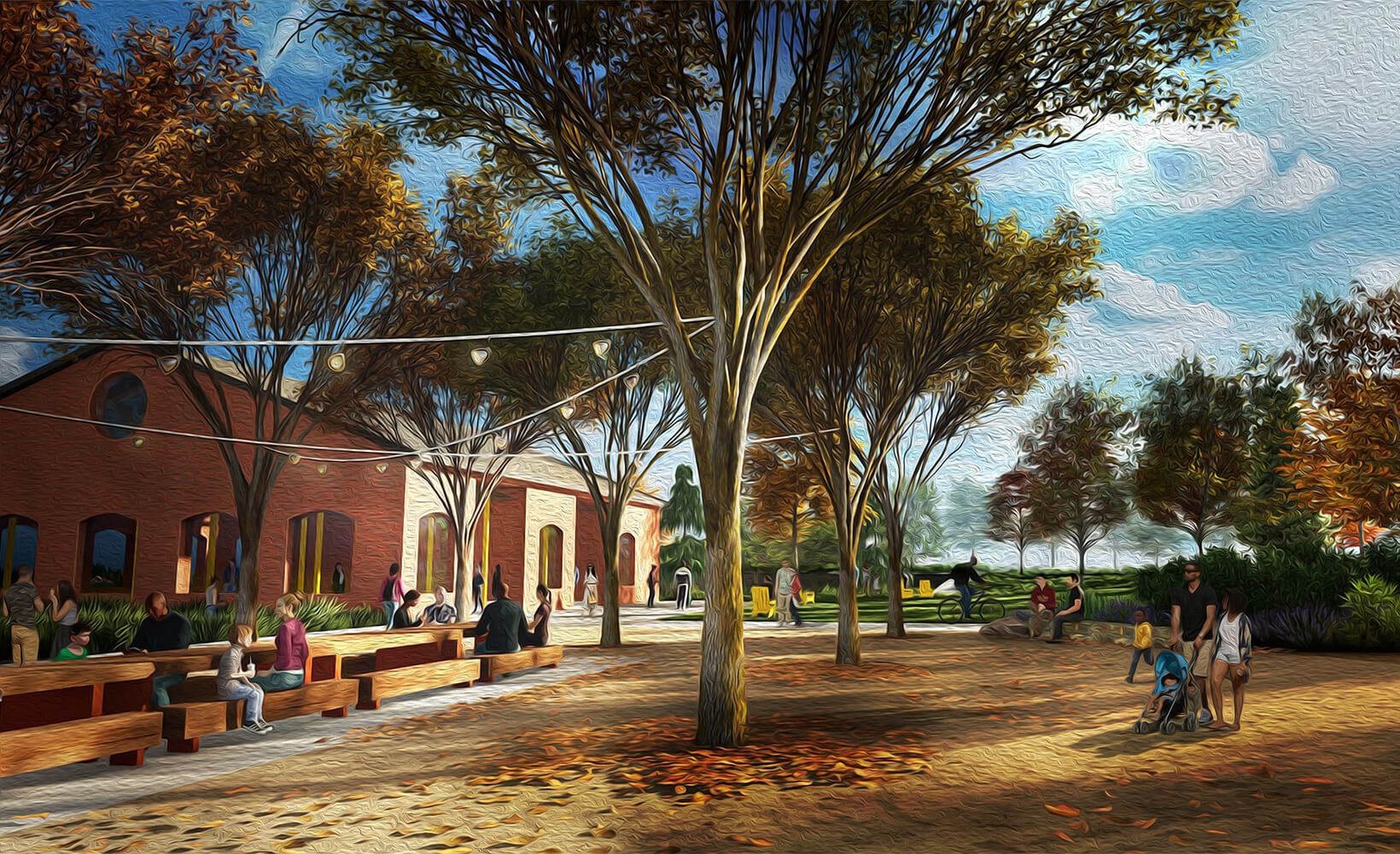
Waterside Park utilizes three main components: Civic Anchors — concentrated programs and areas of activity in two zones; Connective Greenway — a one-mile fully ADA accessible path that binds the various park elements and landscape zones together; and Distinctive Circuits — secondary trails with differing material types and experiential
Ecological Systems
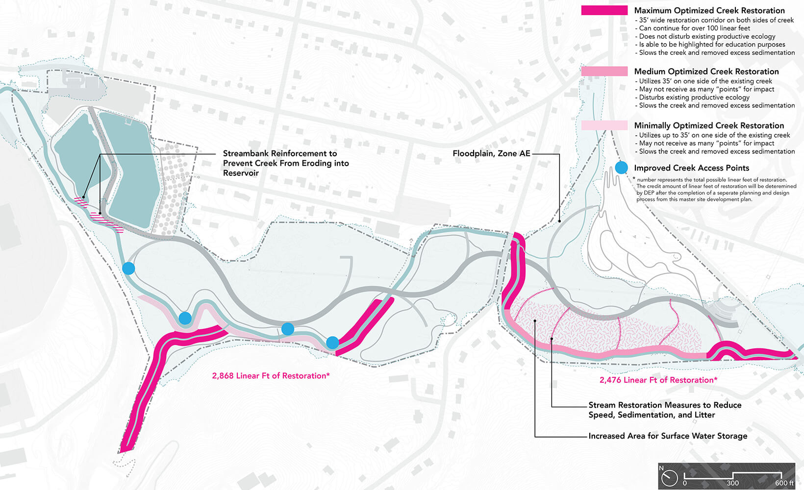
Chartiers Creek is a major feature of the site. The restoration work of this project is a similarly important feature of the overall design strategy. The project design leverages ongoing streambank restoration work as well as the introduction of additional floodplain storage strategies to enhance and emphasize the creek throughout the park.
Ecological Systems
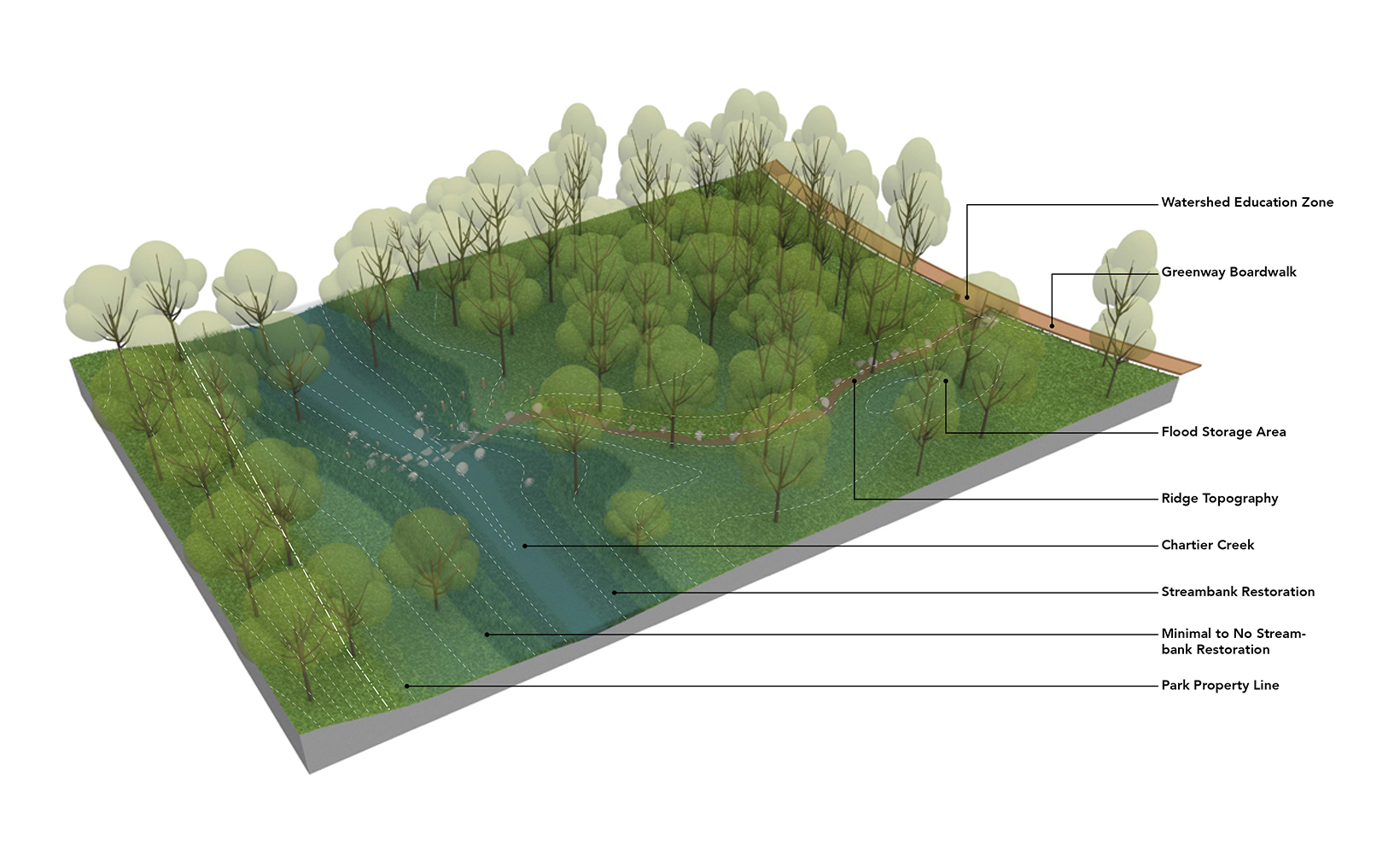
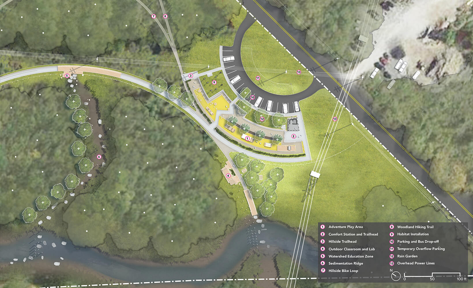
A key component of the south parcel landscape are the Sedimentation Ridges—a set of strategic interventions that allows the creek to spread out across the landscape during flood events. This will ultimately decrease downstream flooding by introducing new ridges of topography extending from Chartiers Creek to the Greenway.
Greenway
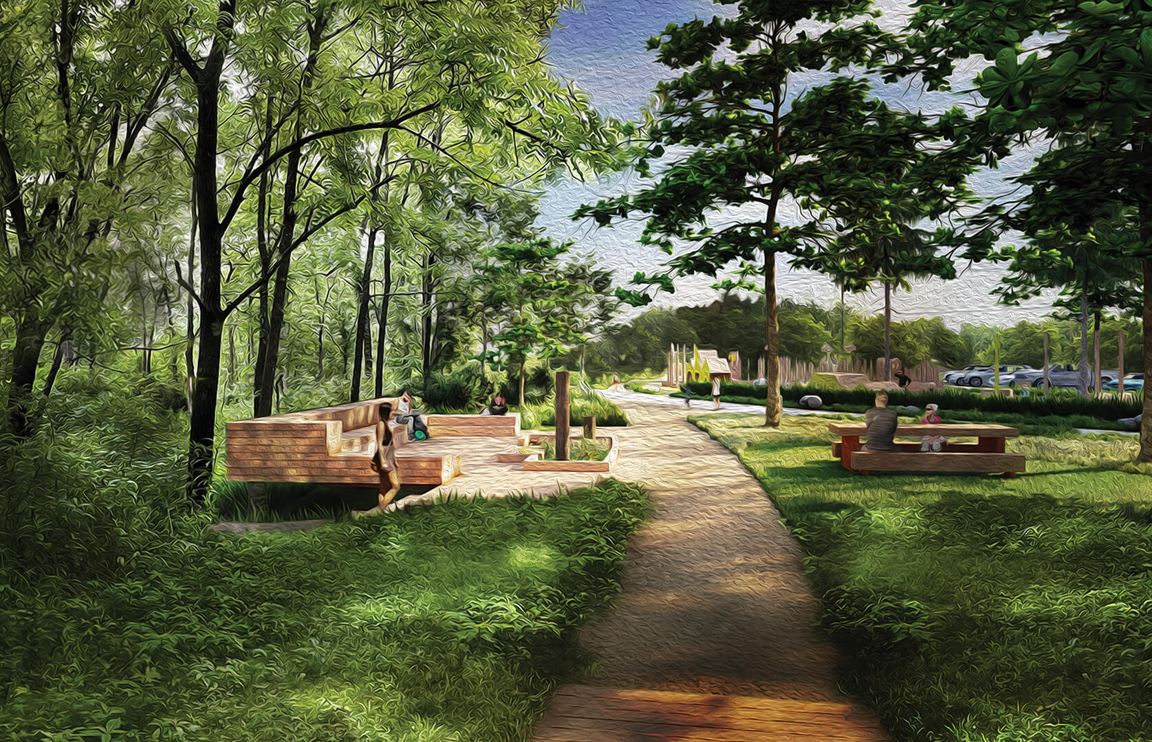
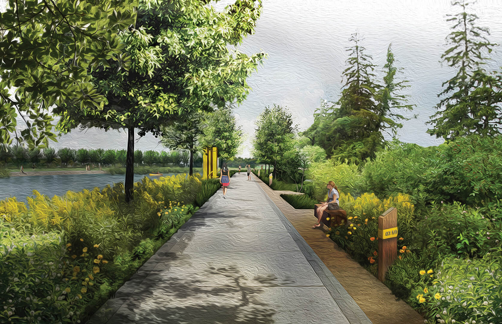
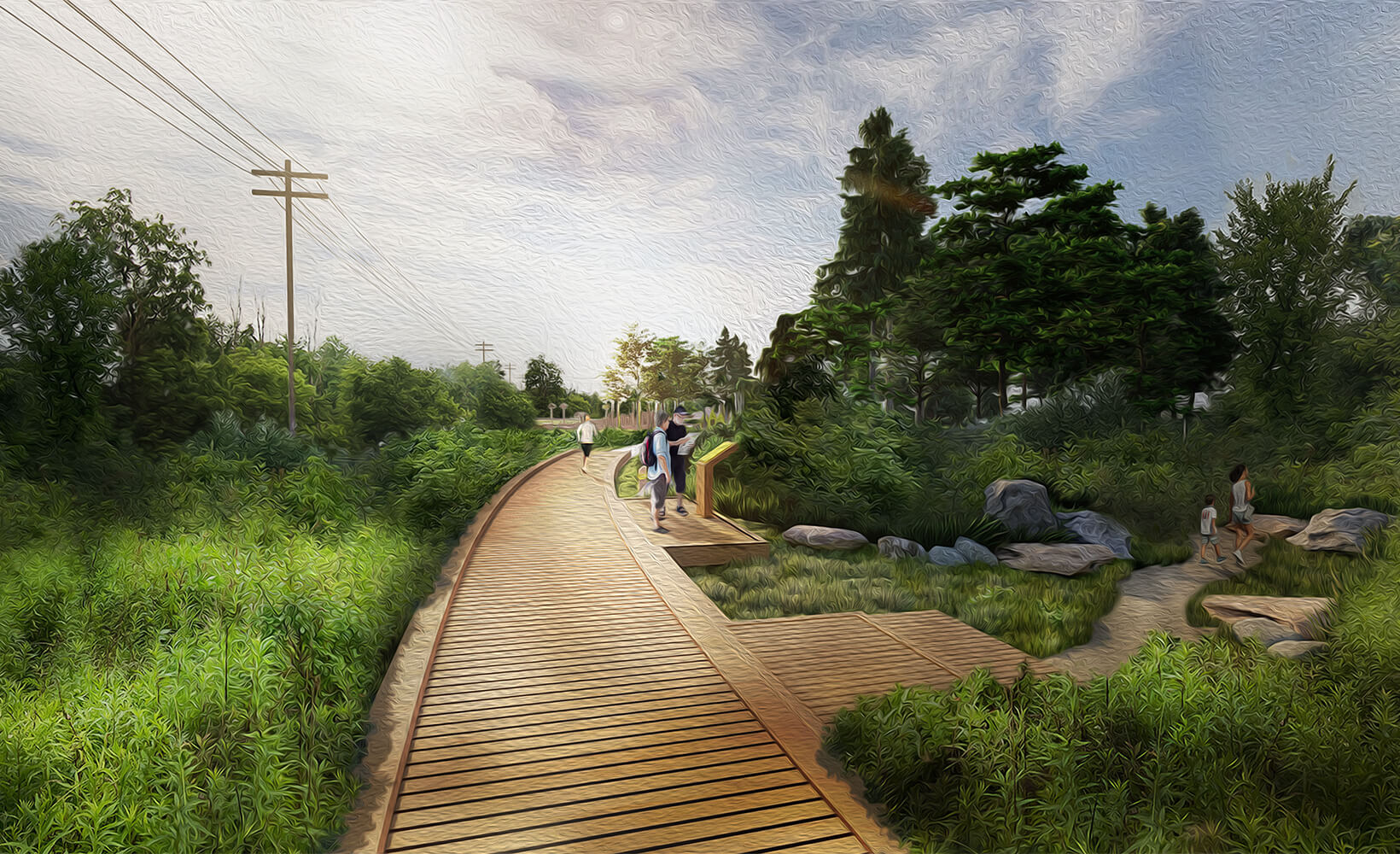
A principal feature of the design is the one-mile greenway connecting the North and South Anchors. Its alignment is considered carefully to minimize conflicts with on-site utilities, avoid disturbing core habitat, minimize complications with creek restoration work, and provide a variety of experiences through and to the unique landscapes present.
South Anchor
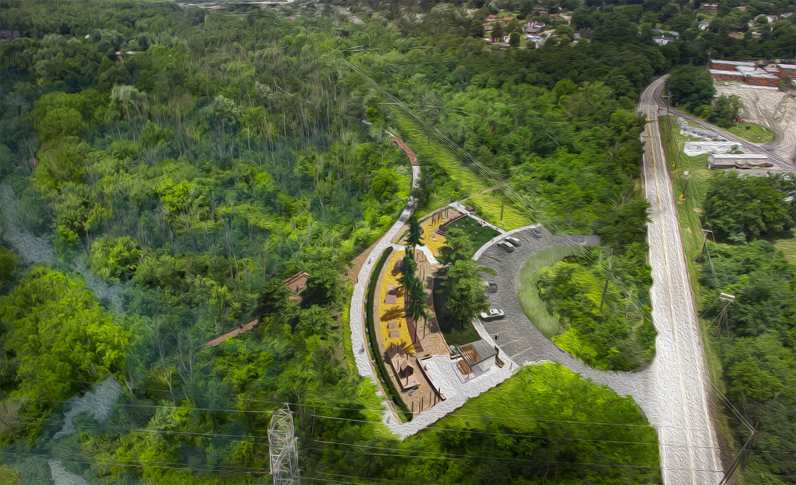
The South Anchor is designed to serve as a “Community Classroom” — consisting of an adventure playground, outdoor learning spaces, and gathering spaces, the South Anchor will serve local neighborhoods and educational institutions. The anchor is also a trailhead for the Greenway and to the Hillside Trails.
South Anchor
The ecological restoration and forest management in and around the South Anchor is a key component of this area, and the site strategy overall. Elements such as Sedimentation Ridges — strategic, topographical interventions that allow the creek to spread out across the landscape during flood events — decrease downstream flooding.
Waterside Park provides a recreational and educational space for people of all ages and abilities, while encouraging the conservation and protection of the existing natural resources.
